
Does it get any more Canadian than this? A provincial park on the Trans-Canada highway between North Bay and Mattawa in Ontario, just north of the big boy of provincial parks, Algonquin.
Samuel de Champlain might just be the Ontario Near North’s best kept secret. While provincial parks, especially Algonquin, to the south are filled up, even on weekdays, Champlain has lots of sites to offer. Why? Is it just not a good park? No. This is an exceptional provincial park. It just might be outside the driving distance comfort zone for the mass populations of the Greater Toronto Area and the Ottawa region. It’s a good four hour drive from the GTA and probably similar from Ottawa.
Over 200 campsites straddle the Amable du Fond River, just before it collides with the Mattawa River. Moore Lake provides fishing and swimming opportunities. The Amable du Fond and Mattawa provide tubing, rafting, canoeing and kayaking. Just 14 kilometres from the town of Mattawa, it is possible to rent a canoe, paddle down to Mattawa and hitch a ride back to the campground.

(The above trail book – Ontario Provincial Parks Trail Guide – advertised at Amazon is written by a professor of mine when I went to Sir Sandford College in Lindsay, Ontario back in the early 1990’s. That was 20+ years ago and MacPherson was a trail guru then. I believe he played an integral role in the creation of the Trans Canada Trail and is president of the Kawartha Trans Canada Trail Association. If you’re going to buy a trail guide – this is the one – this guy knows his shit!)
Champlain is a full service campground with flush toilets, showers and laundry. The camp store is open until 9pm and is fairly well stocked.
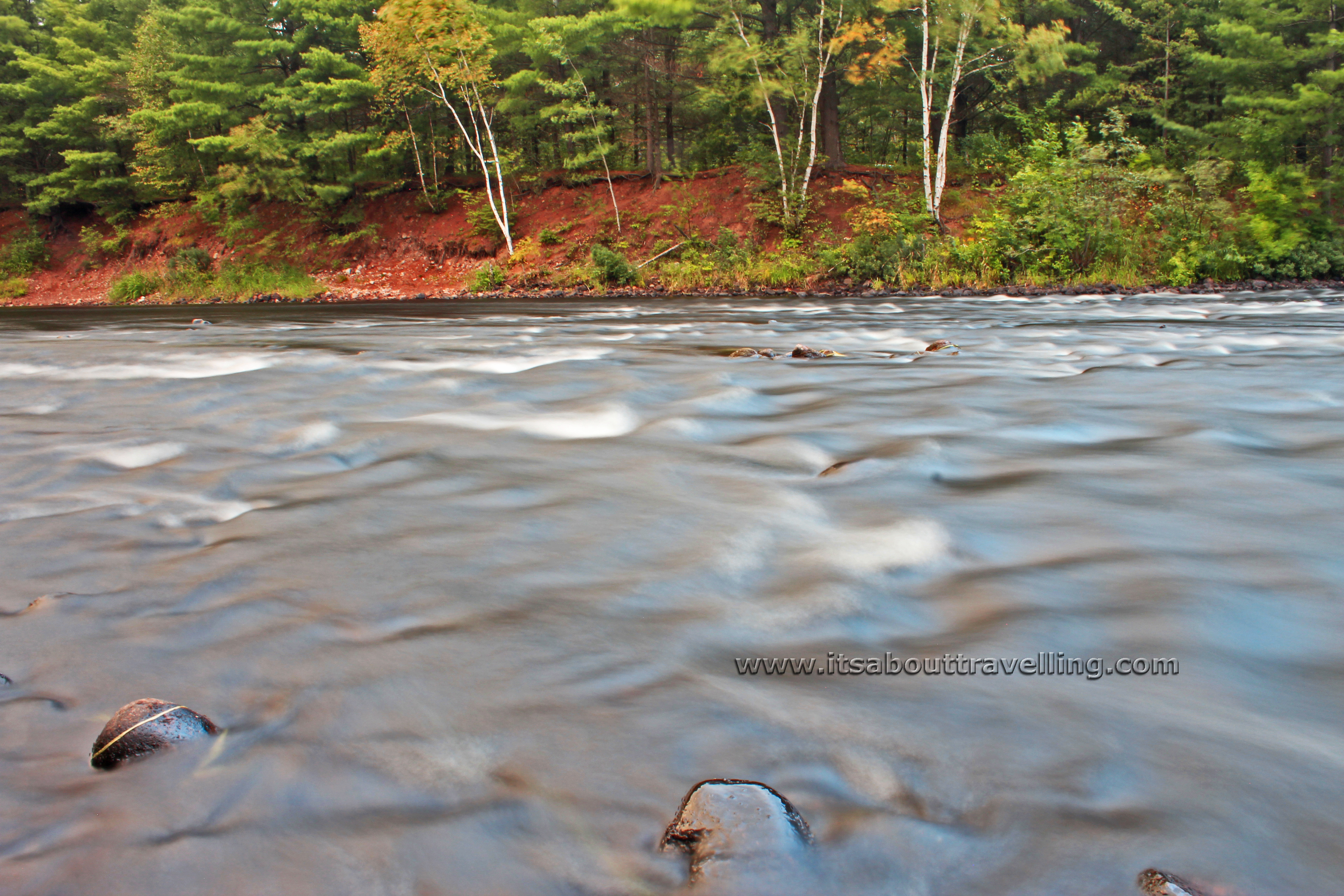
The above image is of the Mattawa River, just downstream from where it meets the Amable du Fond. Just above this location is a great set of rapids for tubing or just plain swimming. Below this point, the Mattawa widens and deepens, more resembling a lake than a river.

Samuel de Champlain Provincial Park offers some decent hiking for all abilities. The Etienne group of trails provides four loops with the longest at nine kilometres.
For the History Loop, it is suggested that the 9km will take five hours. That’s not an overly conservative estimate. The trail is rugged with mostly a rock surface and seemingly never going on a level grade. For three dudes in fairly decent shape, it took between three and four hours. That includes the extra distance from the campground to the trailhead (a couple more km), done in wet humid conditions with the constant presence of thunder in the distance. This doesn’t seem to be an often used trail system and maintenance is lacking as of August, 2013.
It is suggested in the guide that there are waterfalls along the Etienne Trails. We found a couple spots that surely would have been during the spring run-off but were dry in late August. For waterfalls, a very short drive from the park is the Eau Claire Gorge Conservation Area. This a free park and well worth the visit. In the coming days, we’ll be featuring video and images from Eau Claire Falls.
The above image is of Long Lake, along the Etienne Trails, before the Geology, Nature and History loops separate.
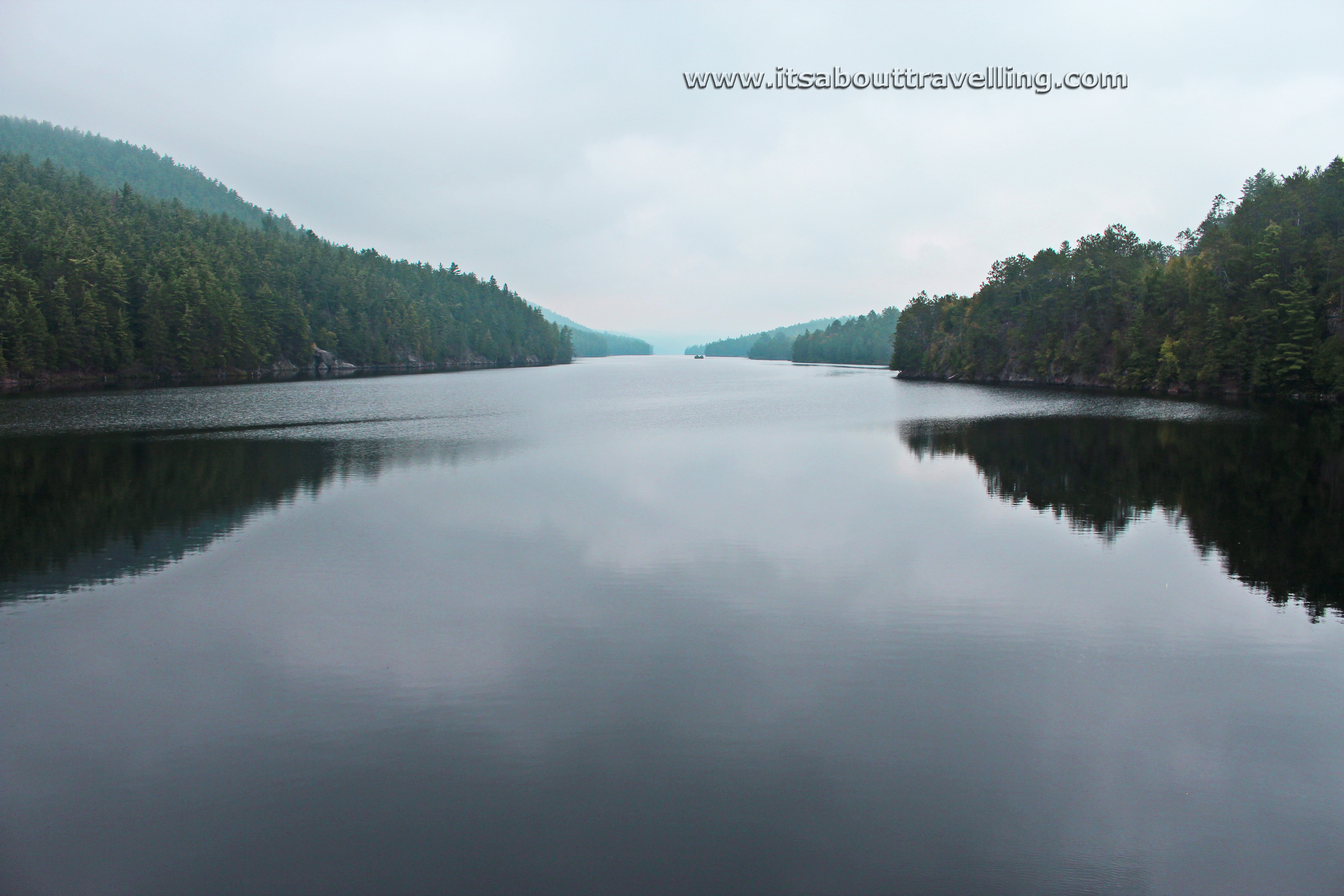
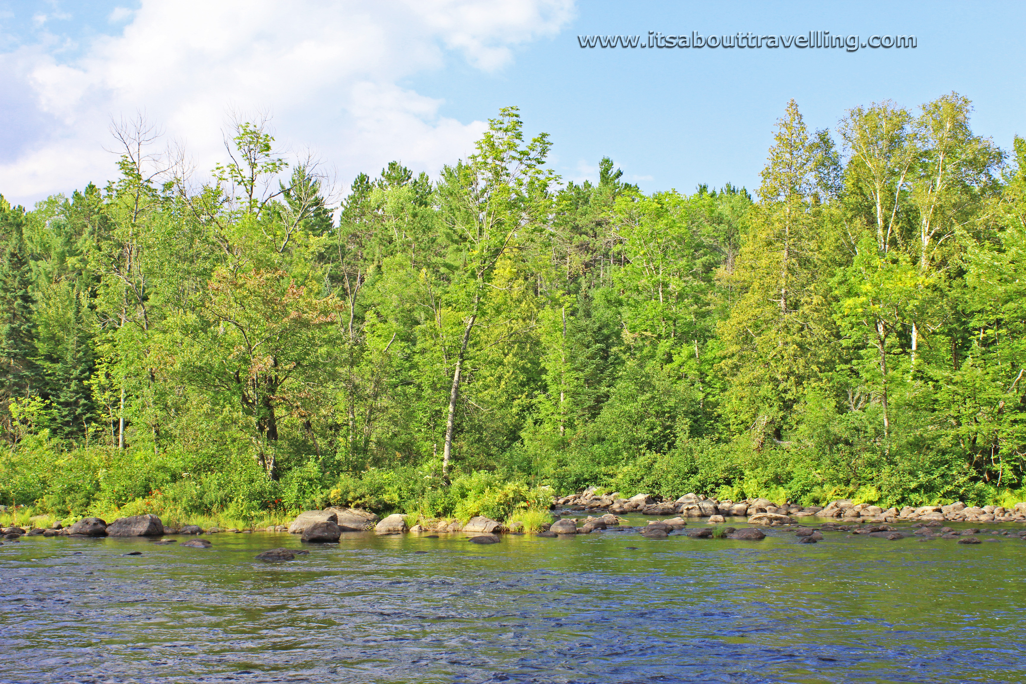
As mentioned, the Mattawa River more resembles a long, narrow lake downstream from the Amable du Fond River. The above image was taken at the furthest east extent of the Etienne Trail system.
The Mattawa River travels a short distance more before joining forces with the Ottawa River at the town of Mattawa.
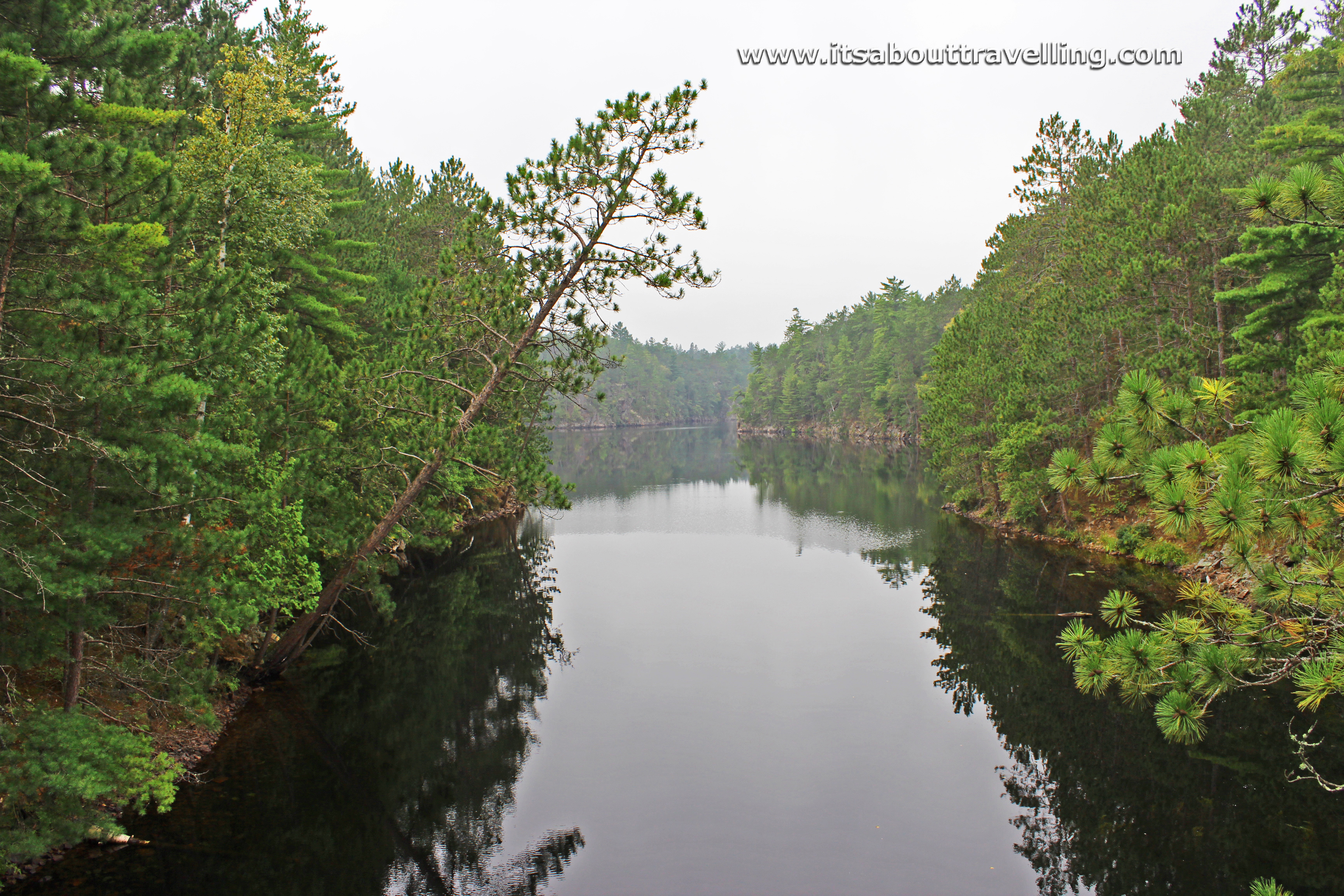
Looking upstream at ‘The Gut’, a body of water that empties into the Mattawa. There is a short walking bridge crossing over The Gut at the point where it joins the Mattawa.
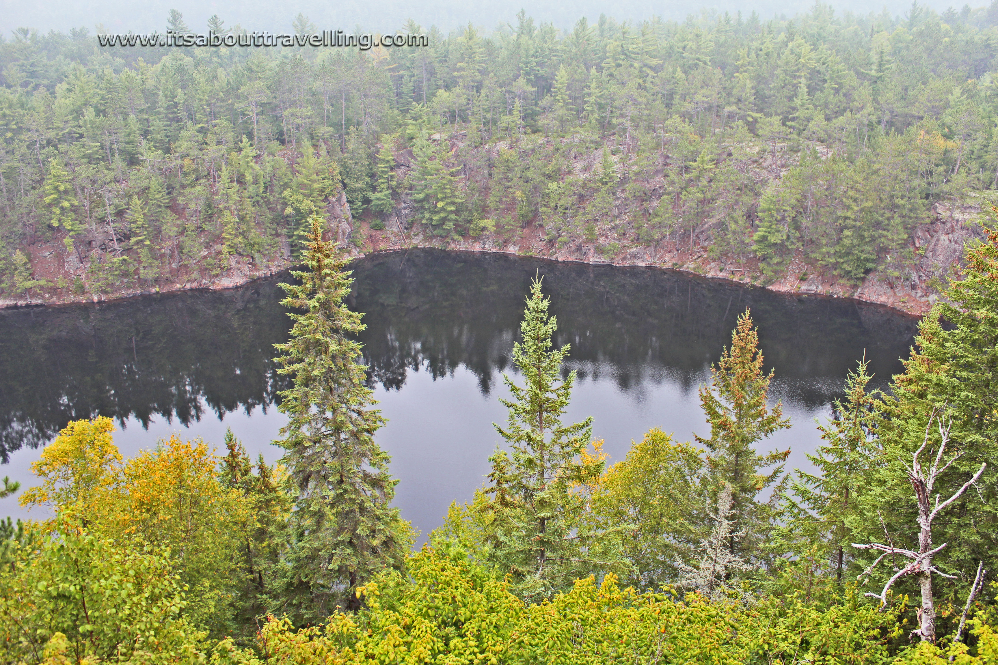
Another view of The Gut from high above on the hiking trail.
The Amable du Fond River splits the campground at Samuel de Champlain Provincial Park in two. On the eastern shore is Babawassee campground, mostly catering to trailers and motor homes needing electrical hookups. On the western shore is Jingwakoki campground, full of spacious and mostly private sites for tents and small trailers.
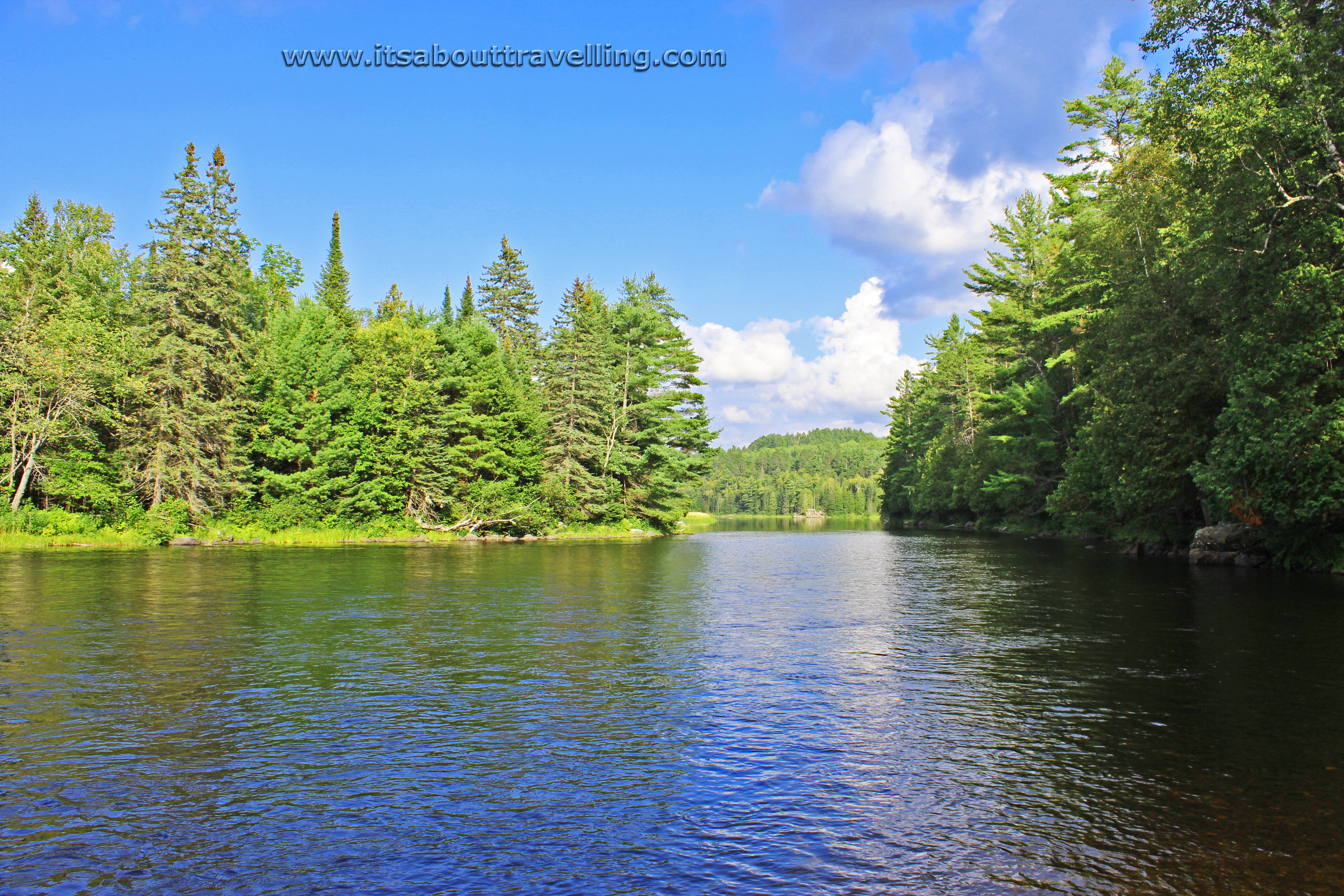
The above image of Amable du Fond was taken from the back end of our campsite in Jingwakoki. Several sites are waterfront, some on Moore Lake and some on the river.
One major thing we wished we’d known was the opportunity for tubing. Many start on the Amable du Fond, just after Moore Lake, and tube down to a pickup location on the Mattawa River. However, if you miss that location on the fast moving Mattawa, you might as well start paddling to the town of Mattawa.
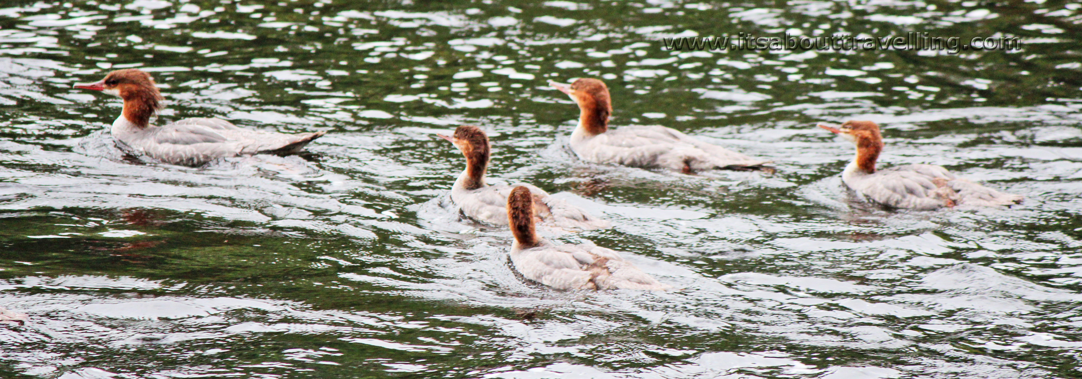
Surprisingly, wildlife was not abound in the park. These Common Merganser, or Mergus Merganser, were some of the only waterfowl to be found. At night, we had visits from a fox and a raccoon. During the day, we saw a porcupine along the park road and one lonely garter snake at the side of the trail.
However, I assume if there is bear in this region, they stick to the landfill sites. This would seem to be deer territory and moose are not present. Along the entire 9km of the History Loop of the Etienne Trail, we saw deer scat only.
The HD Video below shows footage of areas along the water in Samuel de Champlain Provincial Park, including Amable du Fond River, Mattawa River, Moore Lake, Long Lake and The Gut. Be sure to switch to the highest quality setting and be sure to hit the ‘Like’ button!

