Not much more than an urban park in a rural setting, Forks of the Credit Provincial Park can reveal some secrets if you rebel against authority.
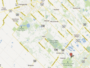
Forks of the Credit is located approximately 25 kilometres northwest of Brampton, Ontario. For those who don’t know, Brampton is a big suburb attached to the Greater Toronto Area. The closest town to the Provincial Park is Cataract, which borders the park. However, Cataract has no store and just one restaurant, the Cataract Inn. Closer towns to Forks of the Credit with ammenities include Erin, Orangeville, Alton and Caledon Village.
The Bruce Trail runs through Forks of the Credit on its journey from Niagara-On-The-Lake to
Tobermory. There are several other trails within the park. There are some steep climbs up the side of the Niagara Escarpment but, for the most part, the trails are at an ‘easy’ level.
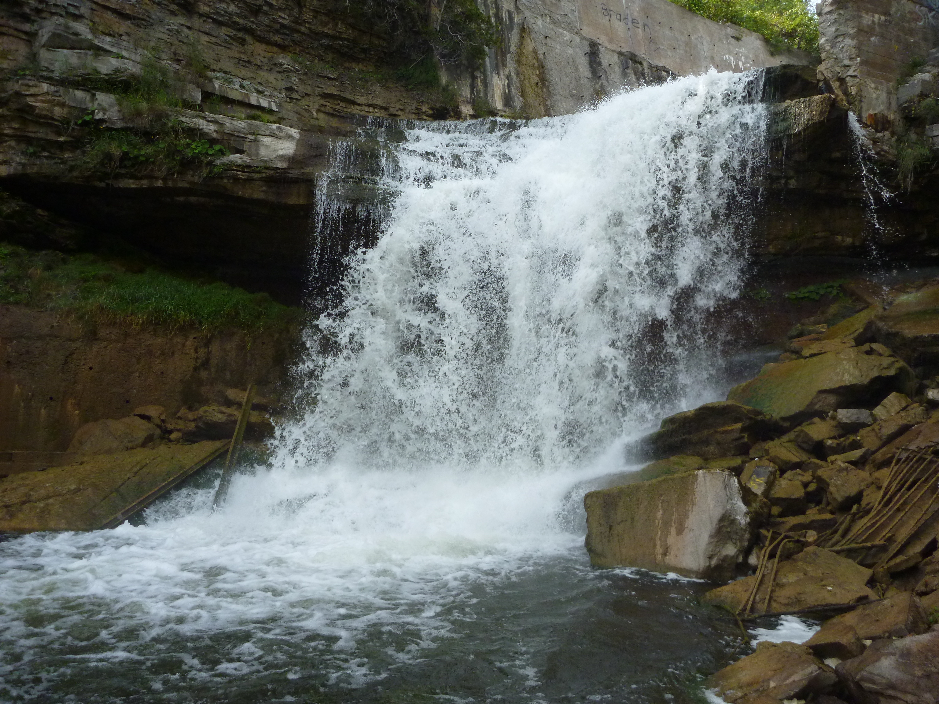
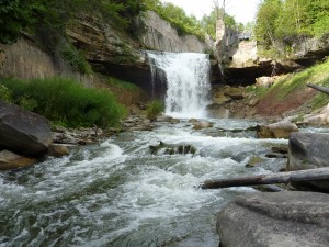
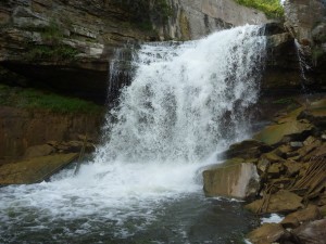
The main trail that slices through the middle of the park is dubbed ‘Dominion Road Trail’. This is the road bed of the former Dominion Road that was established around the 1850’s. The feature of the park is the waterfall at the old power house ruins at the north section of the park. A few trails converge on this point and it is quite easy to find the waterfall. The main waterfall along the Credit River is approximately 70 feet high. Unfortunately, the views of the waterfall are partially obstructed.

At the northern portion of the park, just past where you find the waterfall, the Elora-Cataract Rail Trail begins at it’s eastern most end. The rail trail runs 47 km from Cataract to Elora and passes through the towns of Erin, Hillsburgh and Fergus, as well as, Bellwood Conservation Area.
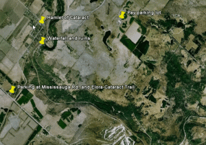
Getting there (see map below):
From Brampton and the Greater Toronto Area: Travel north on highway 410 until it merges with highway 10. Follow highway 10 north to the town of Caledon. Turn left (west) on and go two country blocks to McLaren Road. Turn left on McLaren and watch for the parking lot on the right. There is a fee…
Our personal take:
Yes, they’re trying to stop erosion by blocking visitors from getting down to the base of the
waterfalls. Yes, they’re trying to avoid accidents and injuries by fencing off the ruins of the old power generation plant beside the main waterfall.
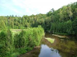
Discreetly slip through the fence and down the hill beside the main viewing platform to the riverside. Follow the river up to the waterfall, stepping carefully on the ‘slippery when wet’ rocks. You will get views of the waterfall that view experience. You will feel the power of the waterfall and the wind that is constantly generated by it. You will see the cave that is below
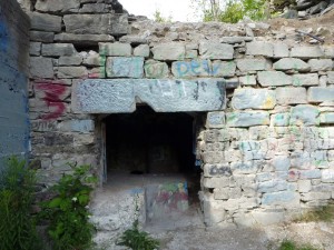
the generating station ruins. It is incredibly worth challenging authority. Besides, there is a fence, but there is no actual sign claiming ‘no admittance’ or ‘no trespassing’.
Same goes for the ruins. This will provide you great views from the top of the waterfall and an insight into the history of the building. Yearly, they patch the fence but it doesn’t take long before crawl spaces appear…
Also bucking authority, we don’t know how much the parking fee is on McLaren Road because we’ve never entered the park that way. Do not park in the town of Cataract and walk in through the service entrance – your car WILL get towed or ticketed. You need to park on Mississauga Road at the Elora-Cataract rail trail. Walk the rail trail for about a kilometre and you will be inside the park and right near the waterfall. You’ll hear it long before you see it…
