My curiosity about Devil’s Glen started when I was just a kid. I believe I first saw the provincial park signs for this unique spot on the Niagara Escarpment on the way to a hockey tournament in the Collingwood, Ontario area when I was maybe around ten or eleven years old.
When I was young, I did a lot of camping with my parents. Provincial, national and state parks were our campgrounds of choice, mostly because you always knew what you were getting, as far as fees and facilities.
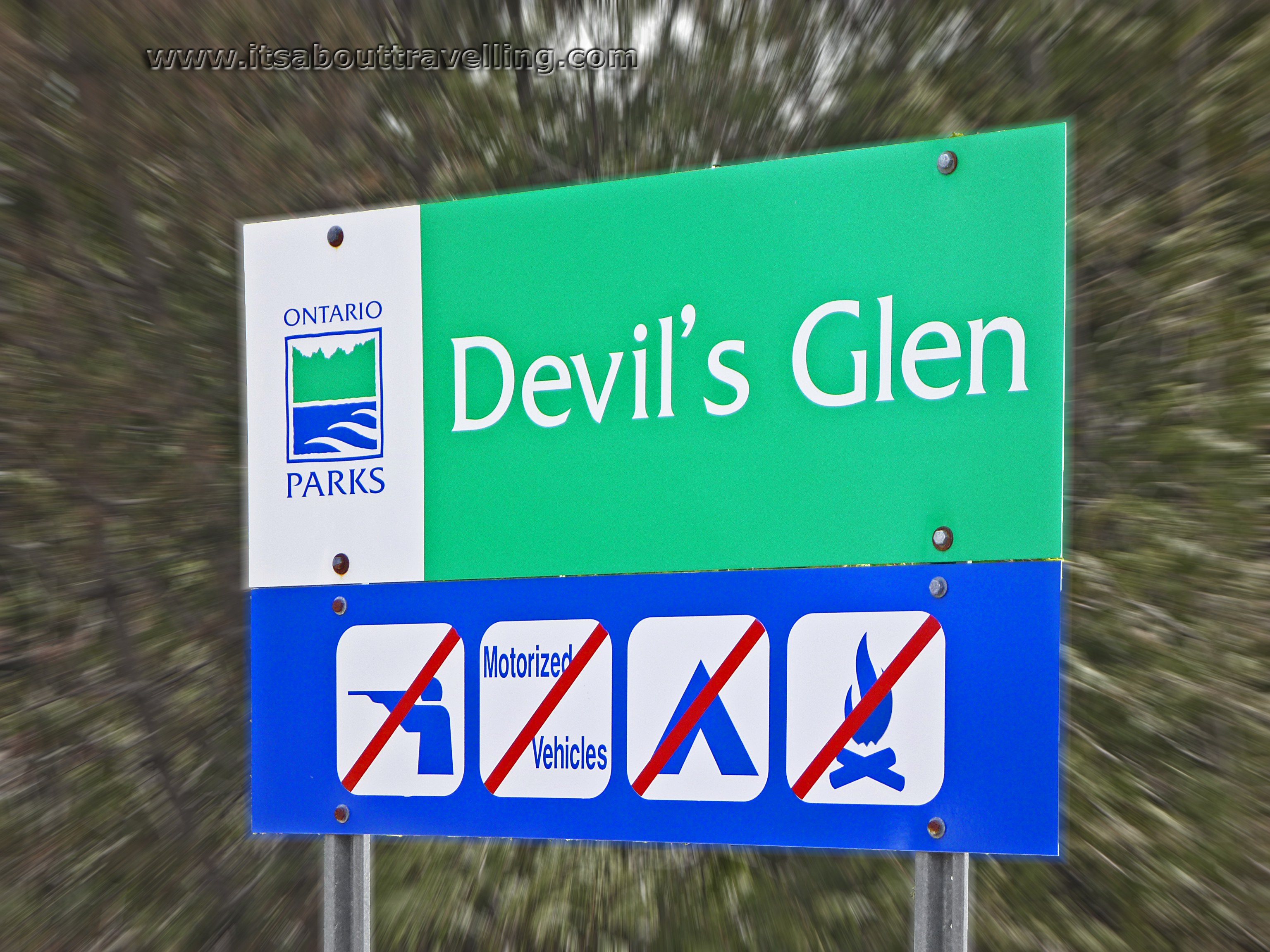
I always wanted to camp at Devil’s Glen but never got the chance. When I moved to Orangeville, Ontario at the end of 1995, I was transplanted to a location that was a short 45 minute drive from the provincial park. However, the Ontario Ministry of Natural Resources closed the campground for the 1994 summer season. What remains today is just a small parking lot with access to the Bruce Trail. There is a viewing platform overlooking the Mad River Valley. There are also remnants of the campground roads, mostly overgrown. (If you have camped here and have pictures of the way the campground used to be, I’d love to see them!)
Still, I’ve wanted to hike from this location for a number of years and have just never gotten around to it. I have stopped in the parking lot but just to water trees for a moment on the way to apple picking at McEachern’s on highway 124, just south of Collingwood.
Finally, a few weeks ago, I was able to get on the trail. I did a loop that included parts of the Bruce Trail, the Mad River Side Trail and the Ganaraska Trail. Unofficially, the circuit came in at around 14km. It was a muddy mess for half of that distance and there were times where the Mad River had completely overtaken the trail with spring melt high waters.
For hikers from or visiting Ontario, this section of trail should be considered a must, to be visited at some point. It’s not wilderness. For much of the route, you’re on the property of the Devil’s Glen Country Club – a private ski resort pictured below. At one point, you pass through the small hamlet of Glen Huron. Often along the trail, cottages and houses are visible through the trees.
It’s not a full day hike, either. Although, the Bruce and Ganaraska continue on in several directions, giving many options to extend the hike for as long as you want or need. The scenery is nice but I imagine once the leaves are on the trees, the sweeping vistas disappear.
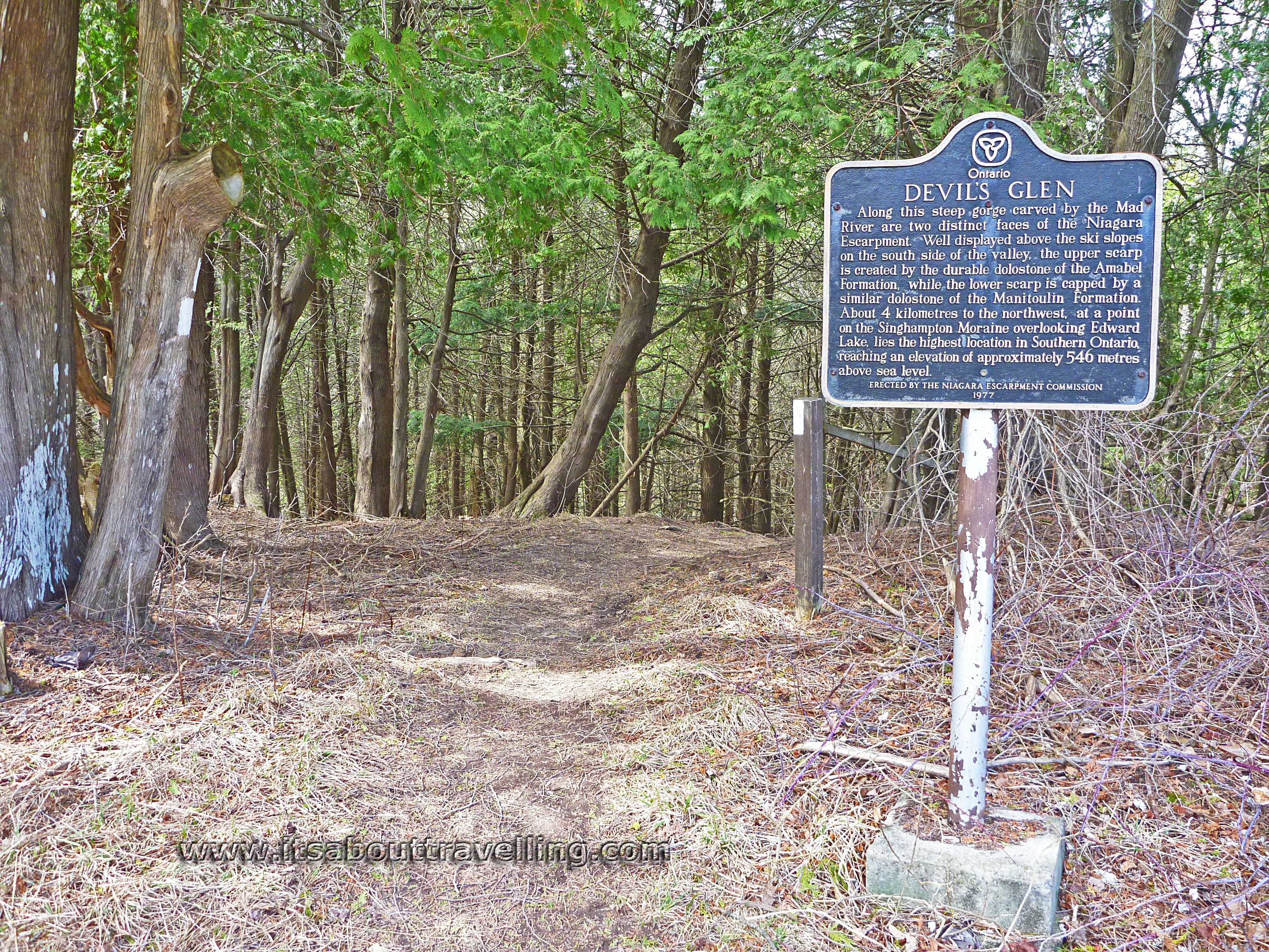
What I would call this is an excellent workout hike. There is little flat land. Either you’re climbing a hill or coming down one. As stated on the plaque in the image above, these are some of the highest elevations in Southern Ontario and the Mad River has carved a pretty deep gorge.

The above is a tiny snippet from the Bruce Trail Reference Book. The entrance to Devil’s Glen Provincial Park is at the top of the map where the 30.2km tag is. To do the loop, follow the solid red line down into the river valley, back up the other side and find that dotted red line again. Follow the dotted line back around. The trails are well-marked and getting lost is nearly impossible. However, around the ski club, there are tons of trail markers for their cross-country ski trails.

I would encourage anyone attempting this section, or any other section, of the Bruce Trail to purchase the official reference book. That can be obtained from the Bruce Trail Conservancy’s official website: Bruce Trail Conservancy.
The Bruce Trail is a nearly 900km long path that runs from Niagara-On-The-Lake in the south to Tobermory in the north. There are over 400km of side trails. This means if you’re in Southern Ontario, you have endless hiking possibilities not far from your front door. This in obviously invaluable and simply by purchasing the reference book, you’re helping to see this continue on in the future.
I’m hoping that my unauthorized use of that bit of map will be excused if just a few readers of this article help out this tremendous cause.
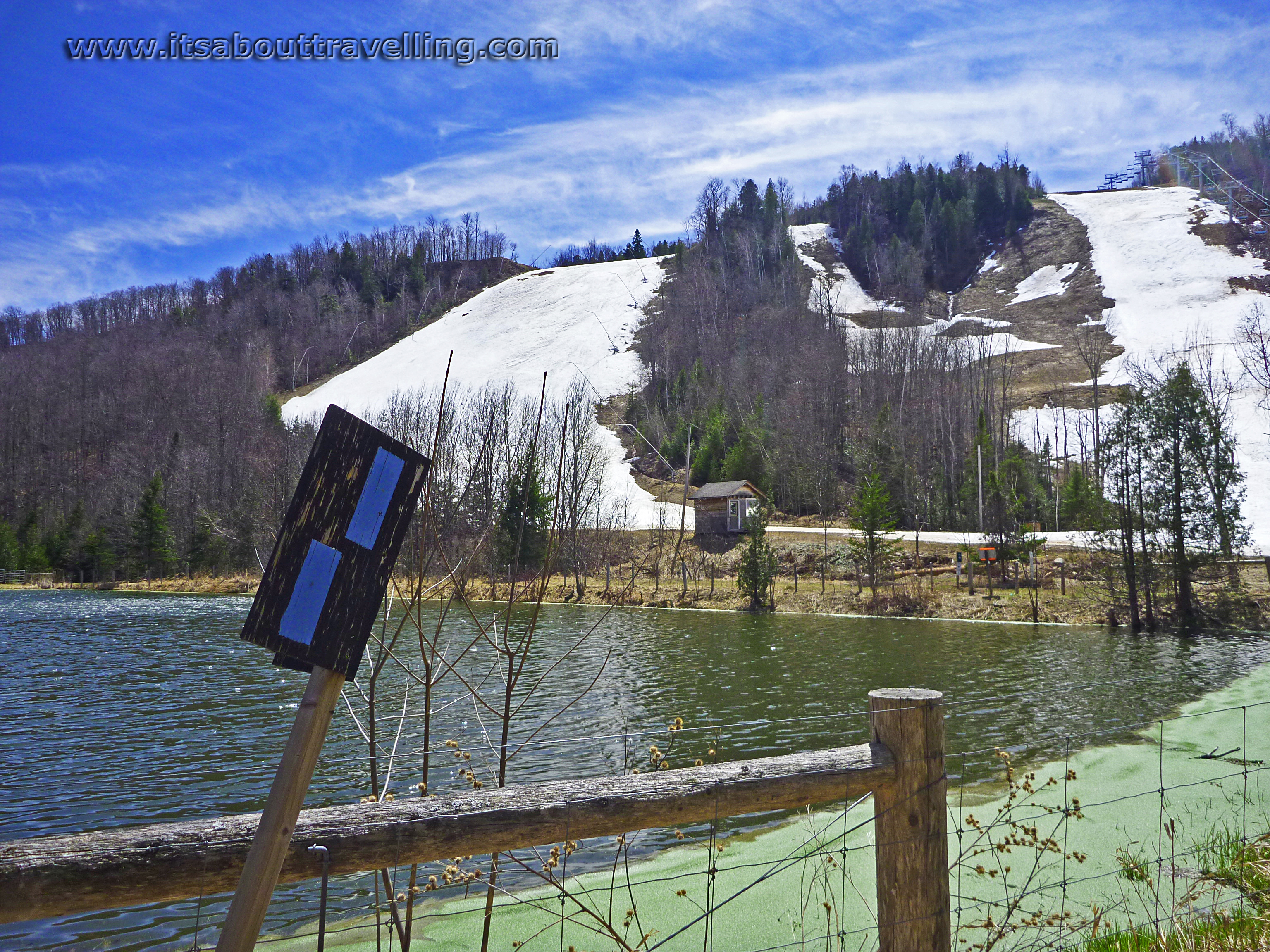
Above is a look at the rather steep slopes of the Devil’s Glen Ski Resort. This is a private club that actually goes by the name Devil’s Glen Country Club, despite there not being a golf course – or, I believe, any summer activities.
Much of the trail travels across their 600 acres of land on the south side of the Mad River valley.
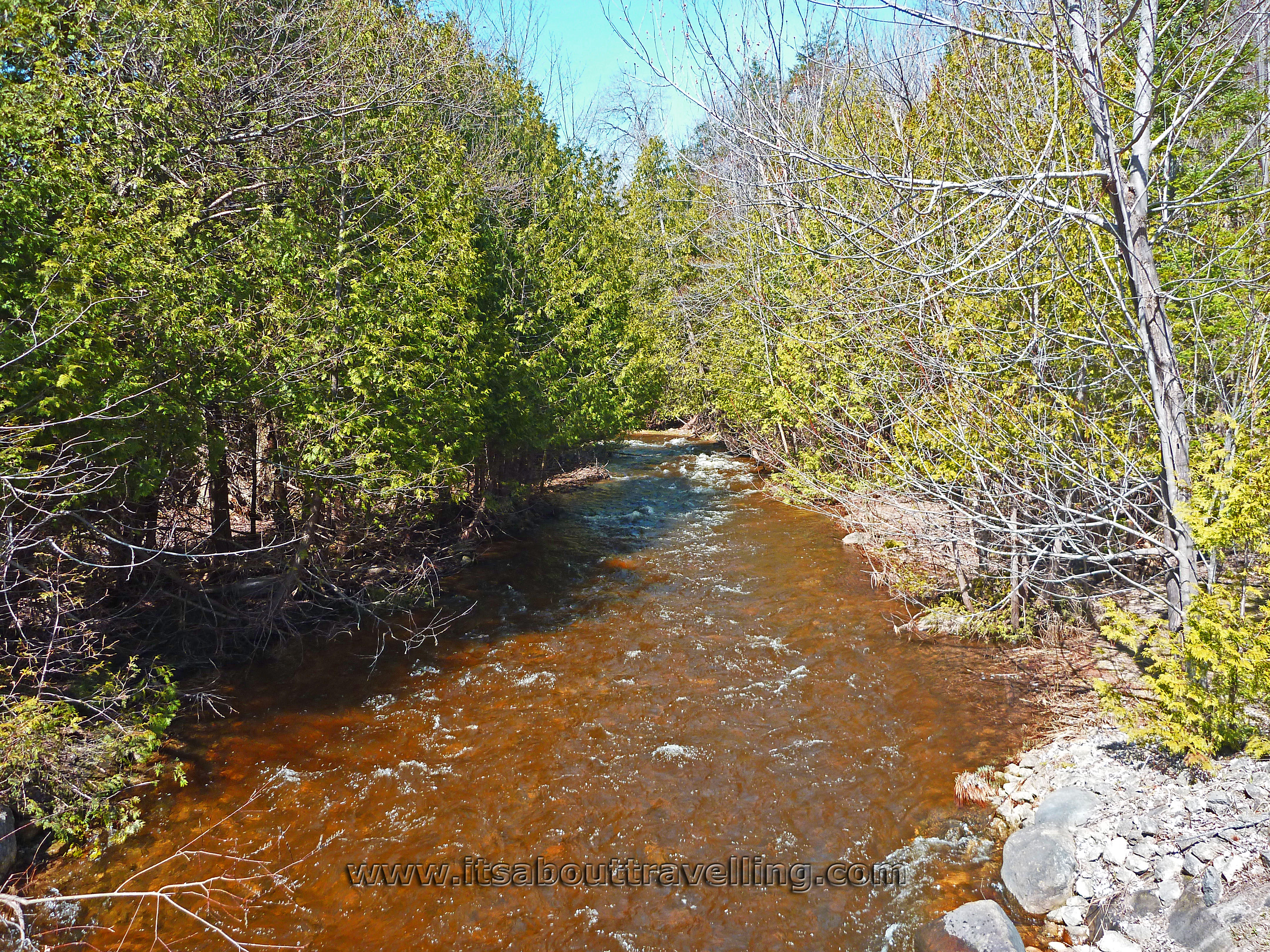
Above: typical view of the Mad River.
As for the Devil’s Glen Provincial Park, it does, in fact, remain as a provincial park. It is considered a non-operating park. This means that there are no facilities and, therefore, no fees. This also means that the park is not promoted by the MNR and may go unnoticed by many visitors. In fact, there are many, many non-operating parks throughout Ontario. They can be found on the official website but info can be hard to find and, possibly intentionally, buried.
The actual park is small at 61 hectares or 150 acres. It is located on highway 124, not far east of Singhampton and not far south of Collingwood. The viewing platform provides decent views of the Mad River Valley when the leaves are absent. This platform would be an excellent spot for sunrise worshippers.
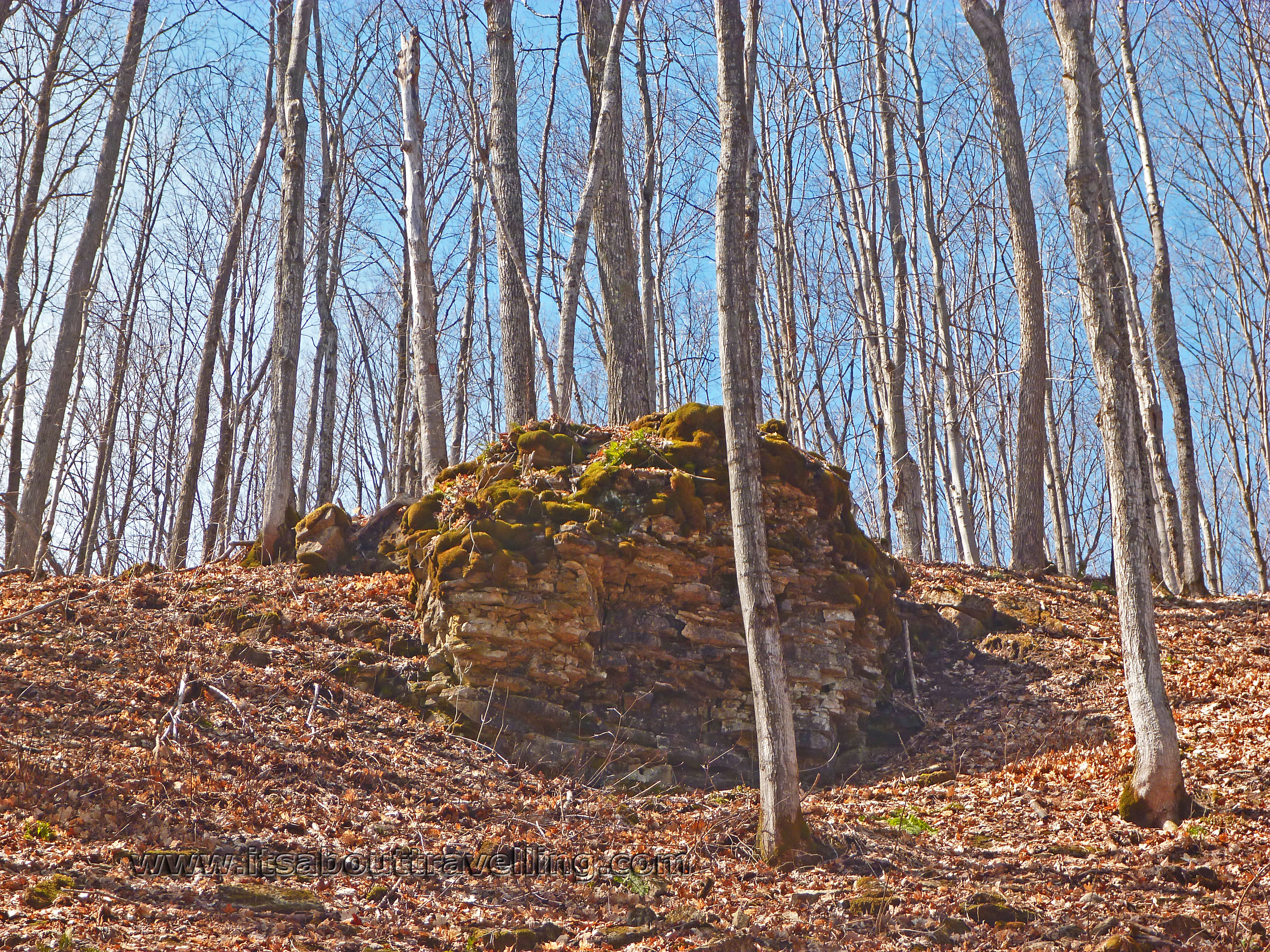
Above, the typical Niagara Escarpment scenery that can be found most anywhere along the 900km Bruce Trail. This particular spot is on the south side of the Mad River Valley, after ascending a considerable distance via somewhat merciful switchbacks.
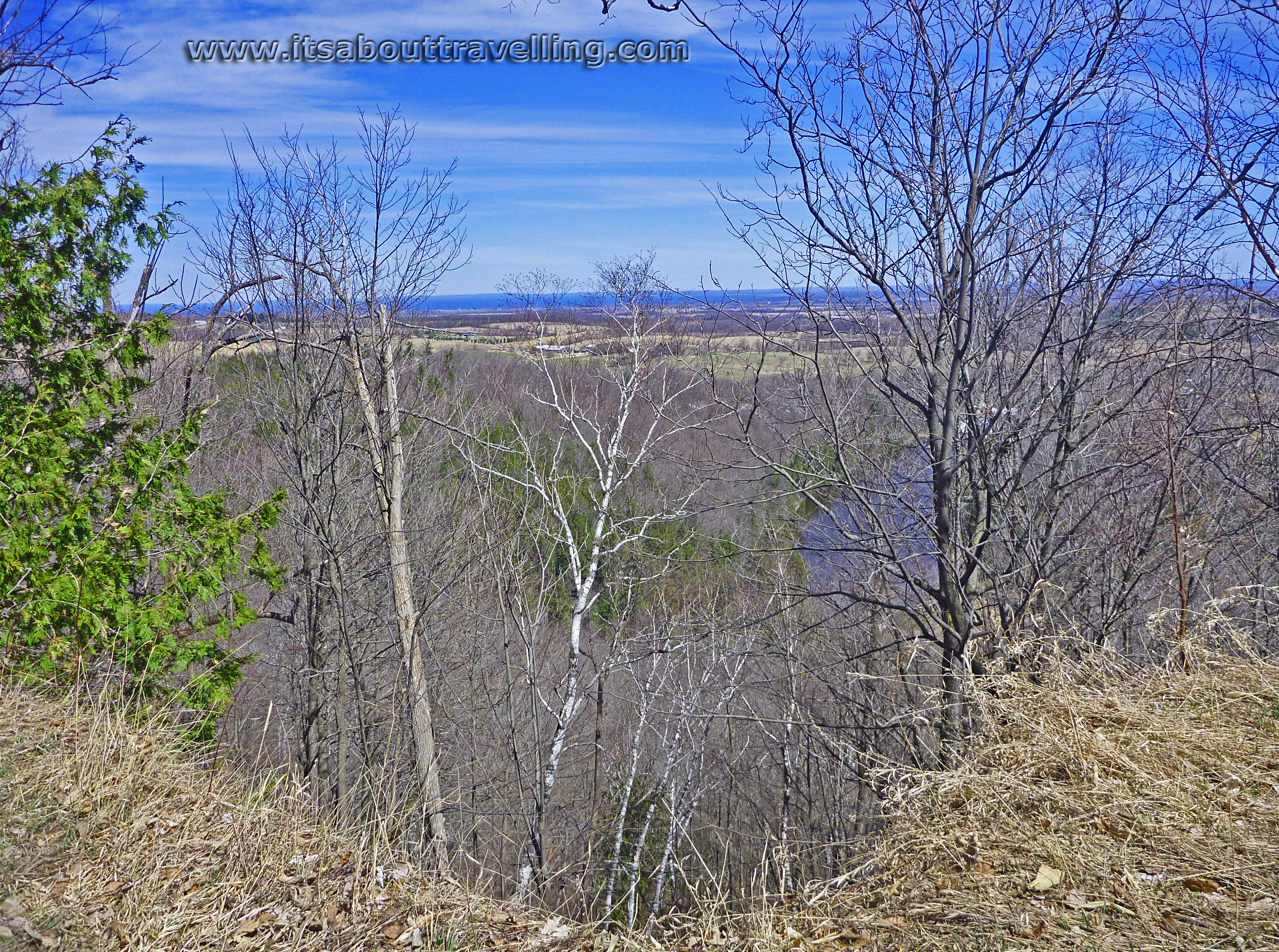
Above is an escarpment top view looking north. The dark blue strip in the middle is the waters of Georgian Bay. As you can see, this view will be drastically different in a month or two when the leaves have come out.
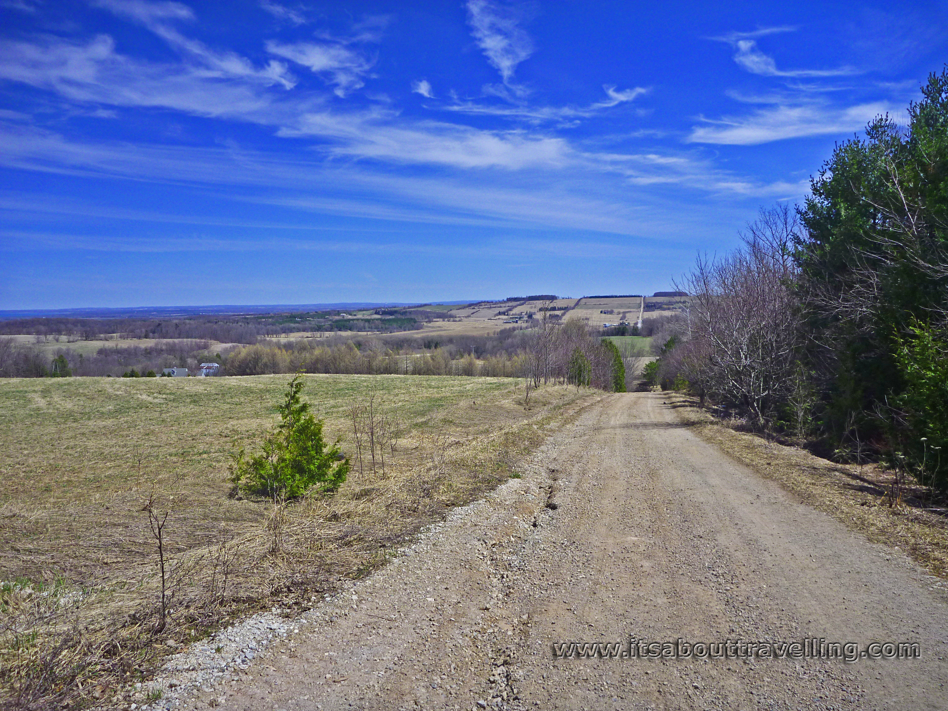
A not so remote section of trail, running along a one lane access road. The scenery is sweeping. It’s not Montana but for Ontario, this is as close as ‘big sky country’ as it gets.
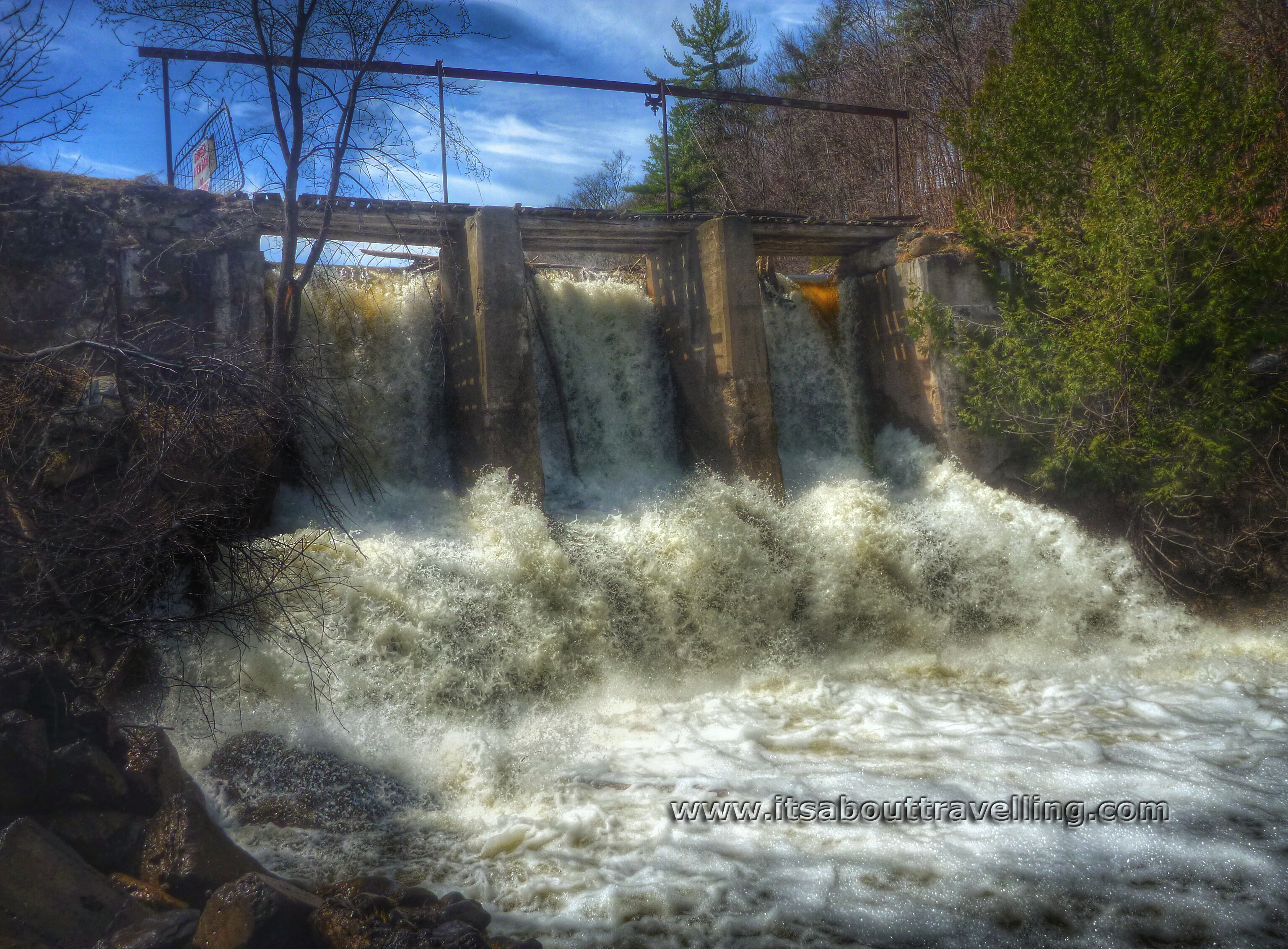
The trail runs through a little place called Glen Huron. It’s actually quite picturesque with the Mad River dammed up to create Glen Huron Pond. The dam now serves no purpose but to keep the pond from flooding the town. With the high spring water, this is actually a pretty forceful waterfall.
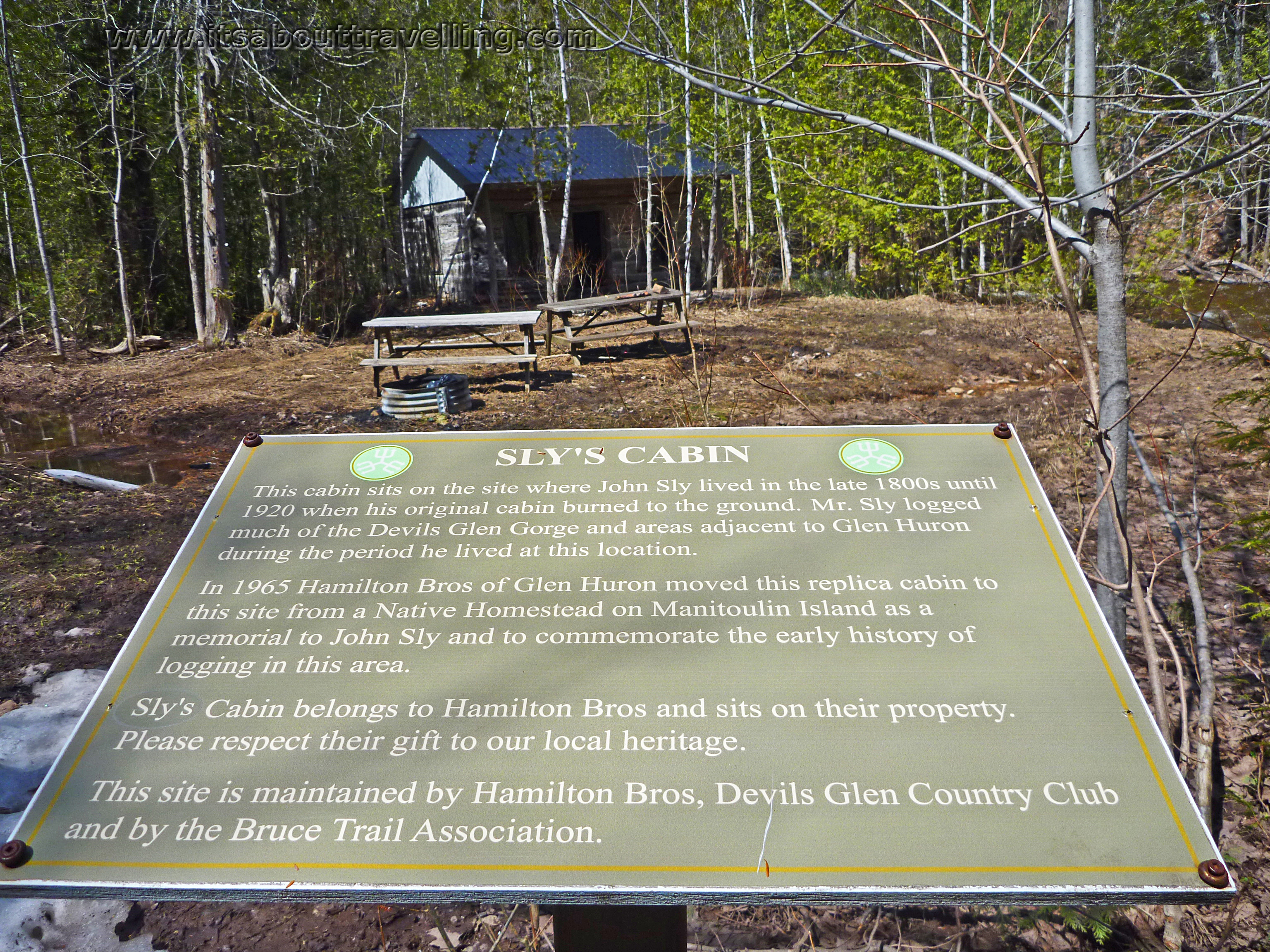
Along the trail is Sly’s Cabin. The sign says it all.